Saturday, March 31, 2018

Training and Hiking in Powell River

Teresa wanted to visit her parents, so we packed up the car, and our little dog and made the 20+ hour drive up the west coast of North America to her home town of Powell River.

Welcome to Powell River
 Powell River is located north of Vancouver, and although its on the mainland is separated from Vancouver by 2 ferry rides. There is no road connecting the town to the mainland because of large inlets and the rugged coast range. 

That is a long drive....
 Our drive up the I5 was uneventful, and we made a single non-stop 19 hour push all the way to the town of Gibson, north of Vancouver. We could not make all the way to Powell River in a single day because of the Ferry schedule. 

The next day we loaded up onto the final ferry and made our way.

Powell River ferry pulls into the dock
 In addition to the typical family visiting, I managed to get in some Denali training. Right out of my in-laws back-yard is access to a section of the Sunshine Coast Trail (SCT) which includes a small and rugged hill called Scout Mountain. This made for some nice trail runs!

Powell Lake from the summit of Scout "mountain"
 
Summit bench overlooking the town of Powell River
My nieces and brother/sister in-law came up for a visit mid-week, the kids are growing fast. I was of course a bad-influence on them, getting them highly over-stimulated.


Trouble makers
 Teresa and Penny joined me on some hikes in the region. The higher elevations were still holding snow, and things were very wet, but we had a great time hiking around on sections of SCT.

Hiking old logging roads in the BC rainforest
Adventure dog prepares for a creek crossing
Log crossing
On one of the sunnier days, I decided to give one of the local coast range mountains a crack - Mt. Freda, one of the taller mountains in the range, but sitting at only 6500' above sea level. I thought it was going to be easy, but I was mistaken!

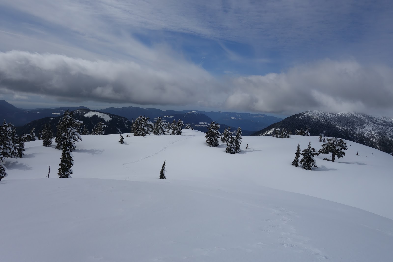
Summit bowl of Mt. Freda
I woke up bright and early, navigating 20 miles of active logging roads. The spur I was supposed to drive up off the main-line was buried in snow, so I had to park an extra few miles back from the trailhead. Good thing I packed the snow shoes!
Parked, packed up, ready to go.
Road is snowed in!
On the snow shoes went! I easily located the trail head and started up the very steep, timbered slopes. The going was very slow. The snow was deep and fairly unconsolidated, so I was sinking even in snow shoes. I got lost several times in the woods. The route winds its way up a steep, densely forested slope, before reaching a mellow, increasingly lightly forested ridge. Once on the ridge, the snow was even deeper and more powdery, making things even slower than back in the forest!

traveling in deep snow. The summit of Mr. Freda above

 
Looking back on the mellow ridge


Eventually I popped above the treeline, finally reaching the base of the actual summit climb.

I was unsure the best route, as the main face looked prone to avalanches, so I wandered around a bit, before finally settling on heading towards a corniced ridge off the main face.


Where did I come from?
 I was about 800 feet from the top when I reached the base of the corniced ridge line. It look somewhat dubious, and was intermittently going into a white-out. That combined with the lateness of the day (I was going to be late for diner with the family!) I decided to head back down, - summitless. It has taken WAY longer than I was expecting, 7 hours to climb 4000' -  sheesh! So I turned around and retraced my steps back down

Views on the descent.
I made it back to the car in 3 hours, and just barely made it back for diner!

A fun little trip, one of these days I need to spend more time in Powell River, but in the summer, so I can better explore the excellent alpine terrain, and the many rock climbing opportunities!


No comments:

Post a Comment