|
| Mt. Shasta - South Side. - Our route of ascent, variation on the true Casaval ridge |
 |
| Packing up |
 |
| Home sweet home. |
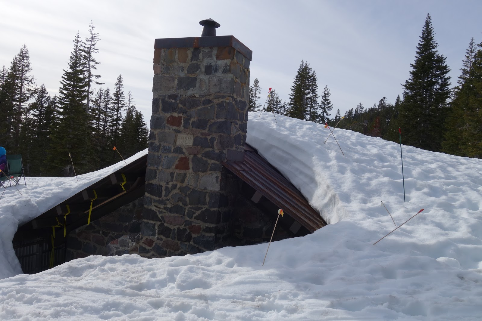 |
| Buried hut! |
 |
| Excavated water spring! |
 |
| Mitch is ready to climb |
Alpine starts are always a bit rough. I have a hard time eating, I drank half a cup of coffee, ate some cold muesli. Head-lamps on then straight up onto the ridge.
It was very warm, well above freezing. We slowly trudged are way up the snow slopes in the dark.
 |
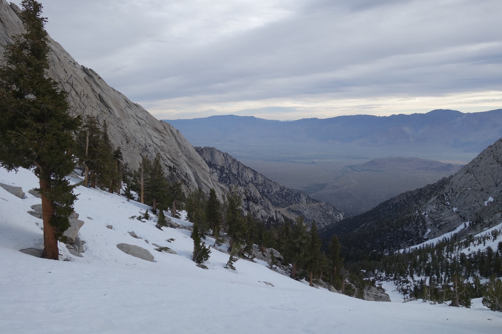
| Early morning approach to the ridge proper |
We traversed across a large snow "sidewalk" onto the ride proper. Cool spot.
 |
| Mitch on the sidewalk |
 |
| Mitch climbing a steep section |
 |
| West Face and Misery Hill |
 |
| Traversing the steeps |
 |
| Ridge climbing. Photo credit - M. Quiring |
As we got higher on the ridge, we had to decide whether to stay on the ridge proper, or traverse out to the West Face. We knew the catwalk (the crux of the ridge) was in rough shape from some rockfall, so we elected to traverse across to the face and finish the ascent there.
 |
| Heading up - Photo credit M. Quiring |
 |
| Mitch pauses for a break to admire the views |
After what seemed forever we crested the top of the West Face onto the summit plateau. It was still a long way to the top however, more than 1500' still to go. We paused for a nap and enjoyed the brilliant warm sun.
 |
| On the large summit plateau. Still a long way to go. Photo credit - M. Quiring |
 |
| Misery Hill --- ughh. |
 |
| Misery indeed |
Altitude really saps one's power. Going from sea level to 14,000' is always really rough, its impossible to move quickly. With great relief we crested Misery Hill, and had a relatively flat and easy walk over to the true summit. I think it took us about an hour to climb that final 600 feet.
 |
| Heading towards the summit. Photo credit - M. Quiring |
 |
| Almost there...... |
We shared the summit with a couple of skiers, one of whom was preparing to do a naked descent of the mountain. We chatted to our new naked friend, and boiled some water.
 |
| Summit selfie. Shiny eyes and all. |
 |
| Summit - naked skier and everything. |
 |
| No time for the views. |
We packed up camp, then to the car and for the long drive home.
I really enjoyed the day, great summit. I am looking forward to trying the complete ridge sometime in the future!